The Queyras tour (Hautes-Alpes)
Duration : 9 days
France, Southern Alps
Level : from intermadiate to difficult
from 1166 € / p. from 4 to 8 persons
Infos & Booking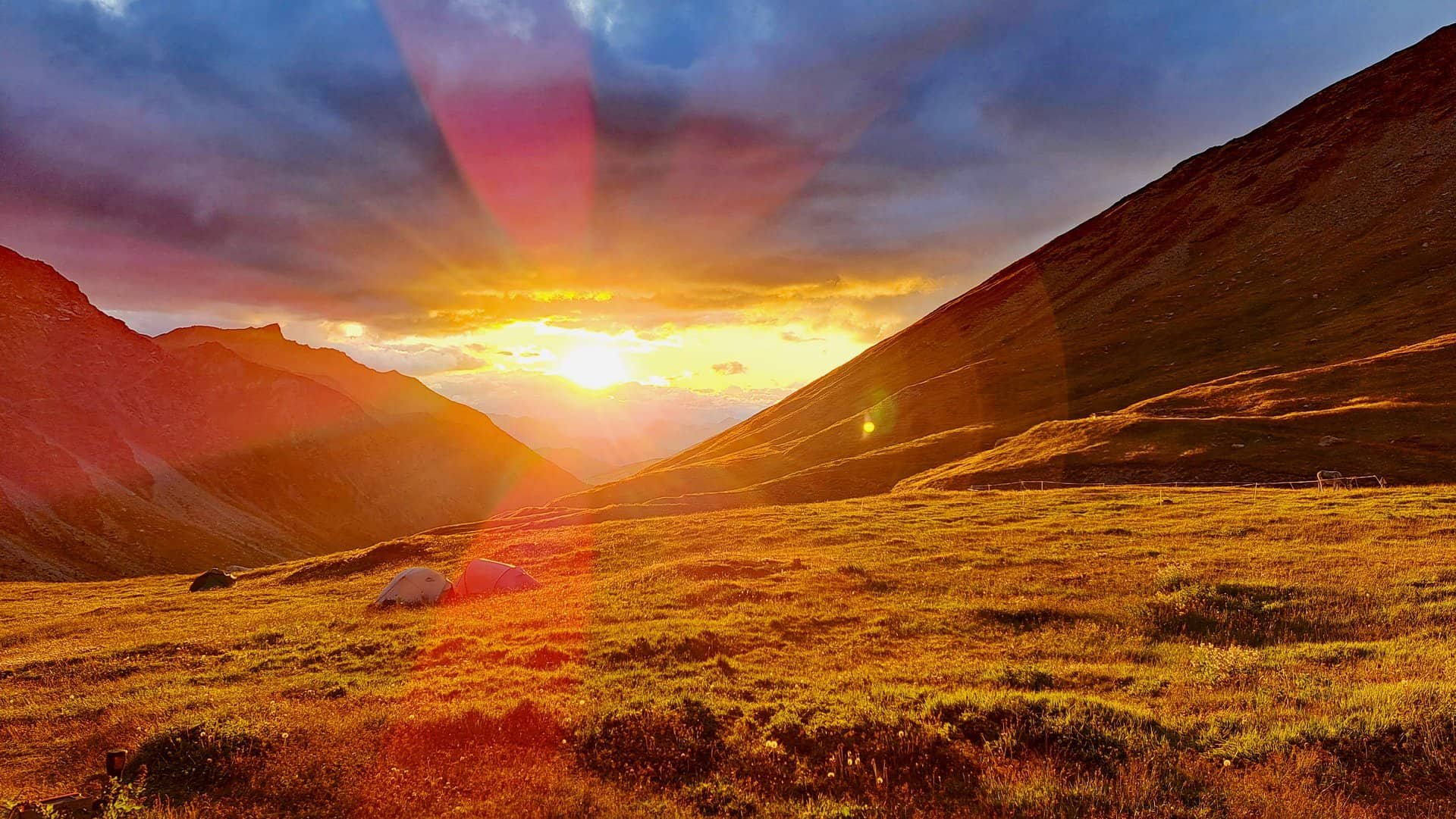
Description
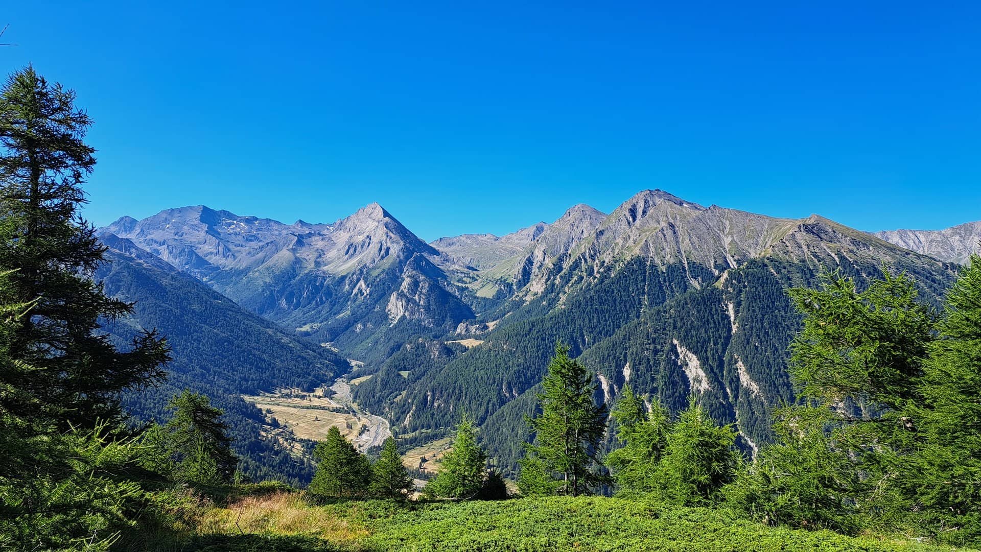
A land of light, Provencal by its language, alpine by its relief, the Queyras massif will amaze you by its landscapes and its treasures.
All along this tour in the heart of the Hautes-Alpes, you will cross the larches, cembro pines and hooked pines which make up the vegetation, as well as the numerous sundials where time is quietly ticking away. The Queyras Regional Park is also home to the highest villages in Europe nestled at an altitude of over 2000 meters, including the famous and picturesque Saint-Véran.
If you like multi-day treks, you can also follow me on one of the following itineraries:
- the tour of Mont Lozère, the highest peak of Cévennes,
- the tour of Clarée and Mont Thabor,
- a 6-day trek in the Valgaudemar,
- the great tour of the Écrins via the GR54,
- 2 days on the Taillefer plateau in Isère
- and an itinerary with bivouac starting from Val d'Isère in Savoie.
Program
D1: Ceillac - Saint-Véran.
We leave the village and head for the Col de l'Estrongue to discover the valley of Saint-Véran, the highest village on the trek. Descent into the alpine meadows, where bands of rhododendron intertwine in the mélézin.
6.5-hour walk, positive altitude difference: 1200 meters, negative altitude difference: 800 meters.
D2: Saint-Véran - Refuge Agnel.
Today we walk through hay meadows towards the Clausis chapel, which marks the entrance to the upper valley. We cross the combe to the Col de Chamoussière and then reach the Refuge Agnel, a haven of peace beneath the magnificent Pain de Sucre.
6-hour walk, D+: 900m, D-: 400m.
D3: Refuge Agnel - Ristolas.
We set off for a short ascent to the Col Vieux, from where we can admire all the valleys of the Upper Queyras and the Italian slopes leading to the grandiose Viso, spectacular in its role as a small Matterhorn. The descent takes place beneath the immense Taillante slabs. The high-altitude meadows bordering the Foréant and Egorgéou lakes offer us all their charms.
5-hour walk, D+: 250m, D-: 1150m.
D4: Ristolas - Abriès.
We climb through larch trees to reach the Peyra Plata ridge and then the Gilly ridge. Descent to Abriès on a path through the forest.
6-hour walk, D+: 920m, D-: 1000m.
D5 : Abriès - Fonts de Cervières valley.
We head for the abandoned hamlet of Malrif, then continue down the valley to Lac du Grand Laus and Lac du Malrif. The view is panoramic over the Queyras, before descending the north-facing slope to the Aiguilles lodge.
7-hour walk, D+: 1300m, D-: 800m.
D6: Fonts de Cervières valley - Brunissard.
We climb to the Col de Péas, whose surroundings are carpeted with flowers. After this, we descend to the charming little village of Souliers, before continuing on to the Col du Tronchet and Brunissard.
7-hour walk, D+: 1100m, D-: 1400m.
D7: Brunissard - Furfande hut.
This morning we set off up the Vallon du Plan towards the Col de Furfande. We pass behind the Dent de Ratier to descend to the Furfande refuge and its mountain pastures.
6-hour walk, D+: 850m, D-: 350m.
D8: Furfande refuge - Montbardon.
The day begins with a descent to the village of Villargaudin and then the Guil valley, before heading back up to Montbardon and our gite.
6-hour walk, D+: 350m, D-: 1150m.
D9: Montbardon - Ceillac.
We cross the mélézin towards Col Fromage, where we discover the Ceillac valley. Hay meadows and crops form a checkerboard of green hues around the village.
6-hour walk, D+: 1000m, D-: 750m.
The price includes
- Supervision by the mountain leader.
- Half-board accommodation in refuges.
- Daily transfer of luggage, limited to 6 kilos per person.
The price does not include
- Return transport to Ceillac, about an hour's drive from Briançon and 1 hour and a half from Gap.
- Your picnic box (possibility of loan, please let me know)
- Snacks.
- Drinks.
- Anything not mentioned in "The price includes".
Accommodation
- Lodges and huts.
- In dormitory.
No scheduled departure, but you can contact me to book your dates.
Infos & Booking